Hiking in Brixen and Natz-Schabs
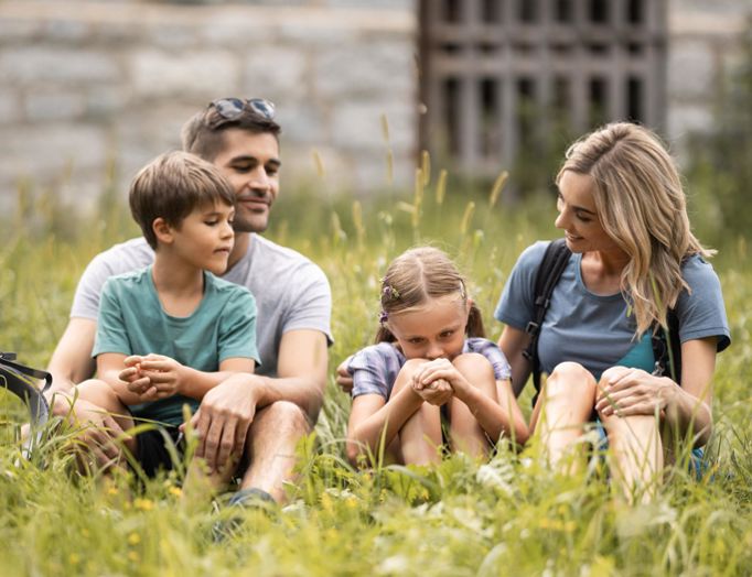
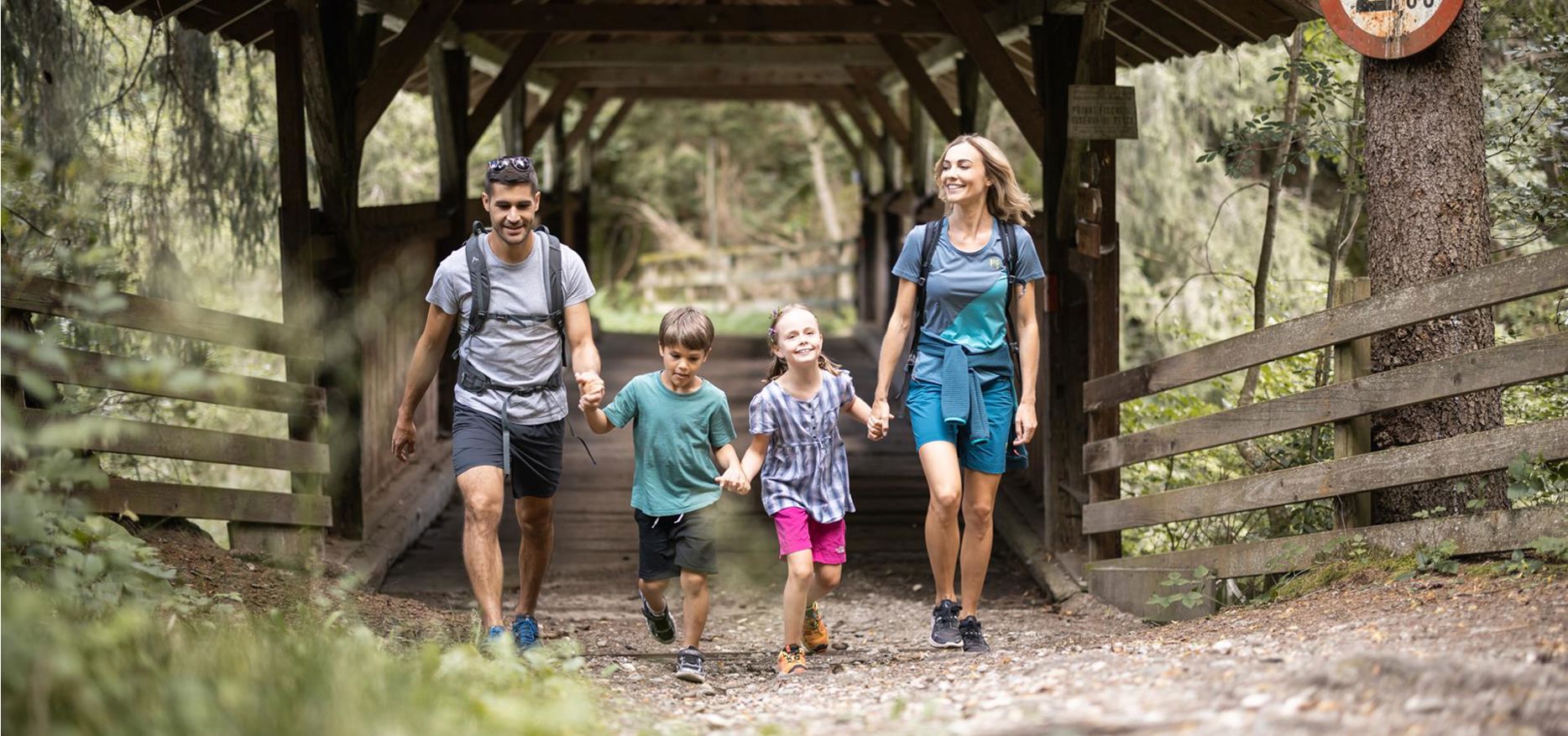
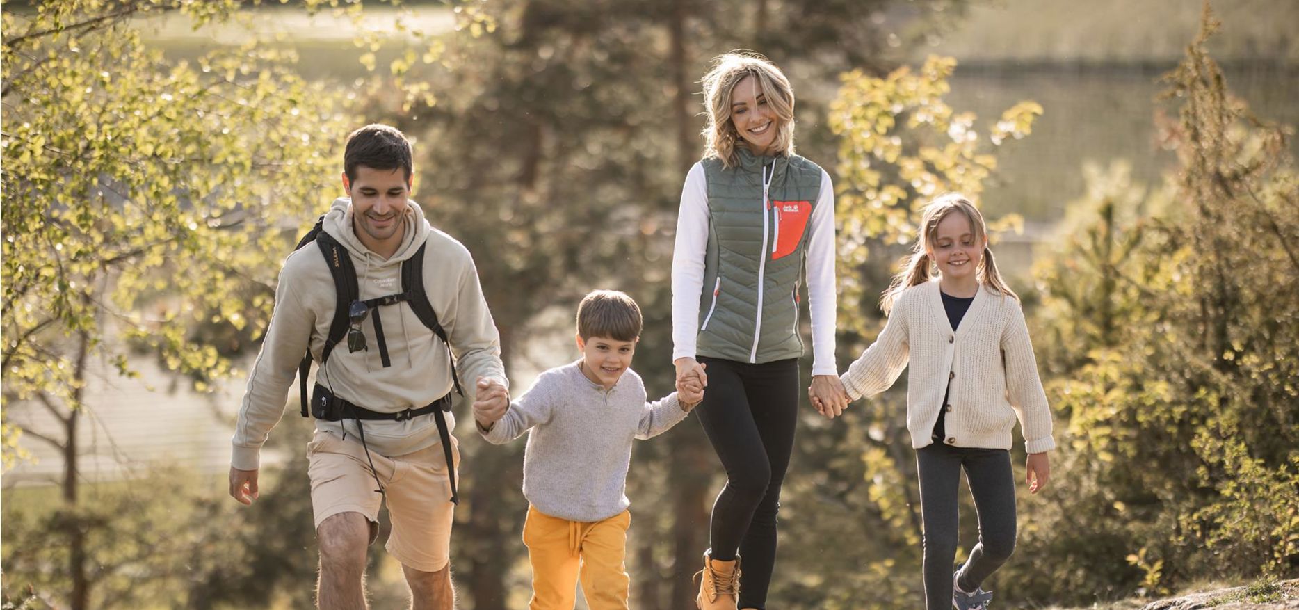
Great paths for all generations
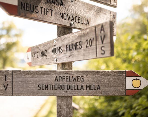
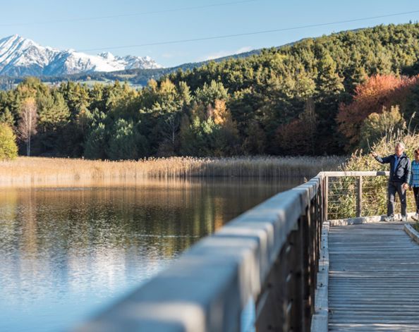
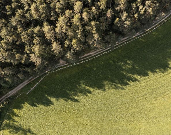
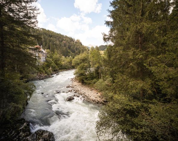
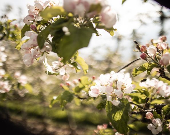
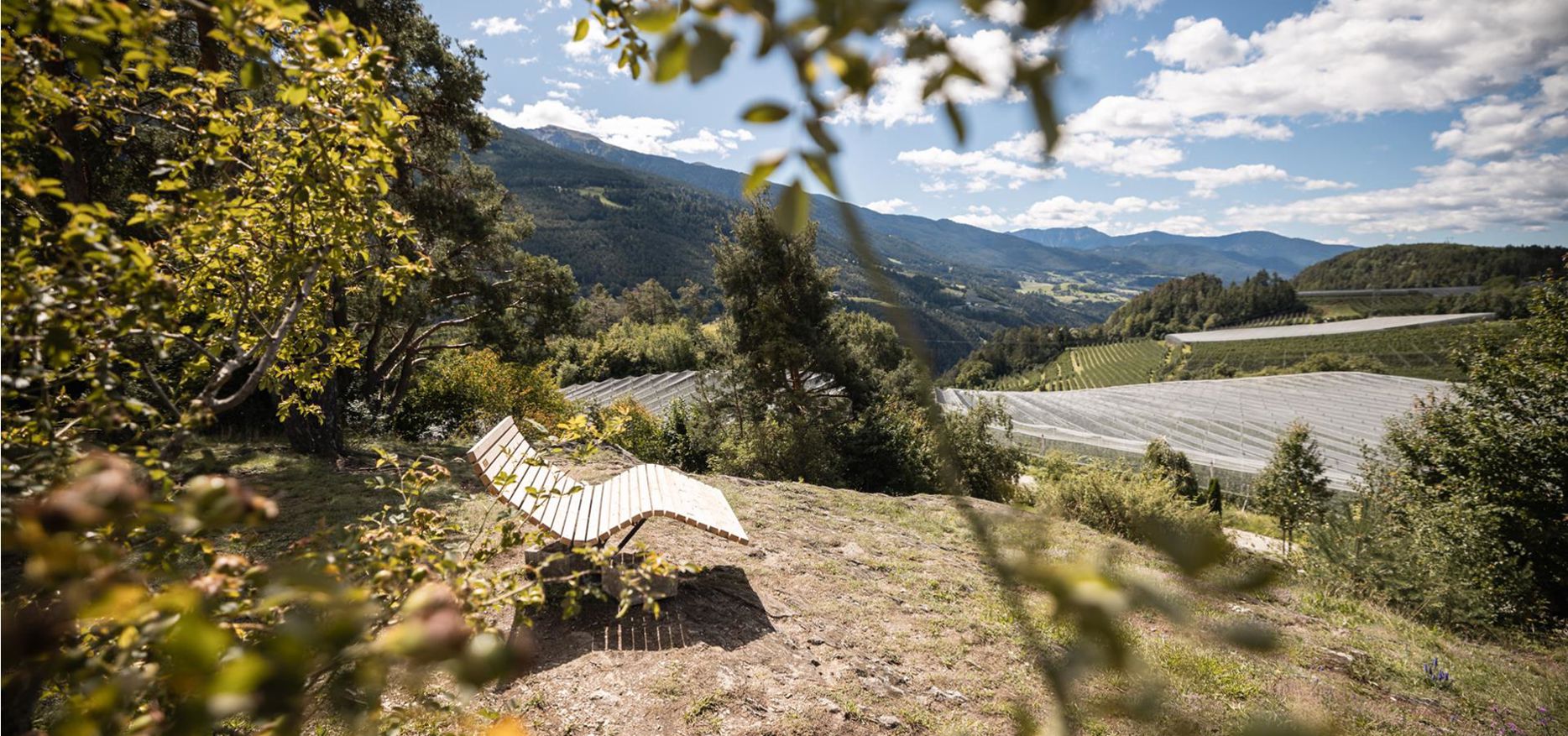
Hiking in Natz-Schabs brings everyone together. A well-signposted network of 80 kilometres of paths stretches across the sunny plateau. Flat or gently up and down, to the most beautiful places. Stroll through the apple orchards from village to village. Hike across the vineyards to Brixen. Combine walking with new knowledge on themed trails such as the apple trail and the Raier Moos nature trail. Linger at the viewpoints again and again. Because in Natz-Schabs, the journey is the reward.
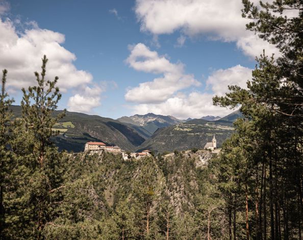
For those who like to go up into the mountains: Our Alpine bus and the cable cars take you comfortably to the higher altitudes. To the Rodenecker-Lüsner Alm, the Gitschberg Jochtal Alpine pasture area and the Plose. If you prefer, you can take a leisurely hike to a mountain hut. Or start a summit tour.
For those who like to go up into the mountains: Our Alpine bus and the cable cars take you comfortably to the higher altitudes. To the Rodenecker-Lüsner Alm, the Gitschberg Jochtal Alpine pasture area and the Plose. If you prefer, you can take a leisurely hike to a mountain hut. Or start a summit tour.